WebGl terrain mesh
Create terrain mesh from NASA satellite data
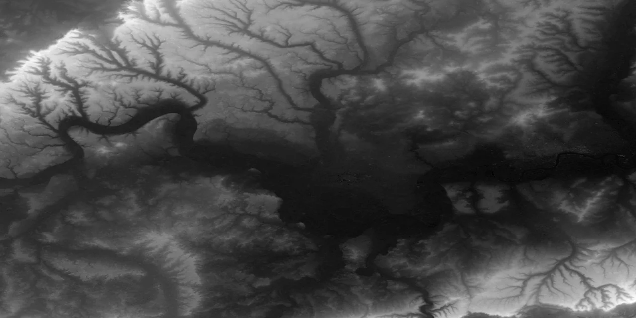
WebGL rendered satellite data of London
Experimenting with various formats, from JPEG greyscale to GeoTiffs, I've found JPEG to be quick but lacking in accuracy, with potential inconsistencies in referencing to maxima.
In the end, I've opted to decode GeoTiffs via an API call to a node server using the npm library geotiff.js. It serves as a wrapper module for gdal and imagemagick, extracting all pertinent GDAL metadata and asynchronously returning sampled elevation points along with world coordinates, proving invaluable for mapping purposes.
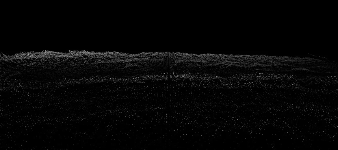
The technique is later applied to create a miniature world, using a satellite image of Mallorca to generate both the terrain as a bump map and a colorized texture map.
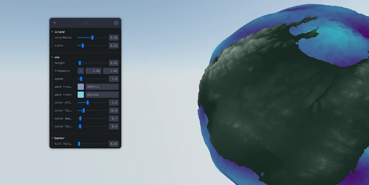
By extracting elevation data from the satellite image, the miniature landscape's topographical features are recreated with depth.